Category:Maps of the Syrian Civil War in 2021
See also : Category:Conflicts by country
Ongoing armed conflicts ( Countries Maps )
|
|---|
|
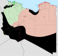
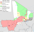
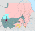
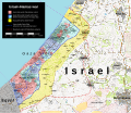
National or regional Maps of ongoing insurgencies, armed conflicts, disputes of territories, military conflicts, and also current civil or international wars : Overview Maps:
National-wide Maps:
National-wide Maps of areas of activity:
Sub-national-wide Maps:
See also:
Category:Conflicts in 2024 (with list of countries in ongoing armed conflicts) Template:City maps of ongoing civil wars (Local maps) |
Note: Comments "areas of activity" means that this is not territorial control is shown.
Ongoing armed conflicts ( Local & City Maps )
|
|---|
|
Local or city Maps of ongoing insurgencies, armed conflicts, disputes of territories, military conflicts, and also current civil or international wars :
|
Media in category "Maps of the Syrian Civil War in 2021"
The following 5 files are in this category, out of 5 total.
-
Daraa Clashes (July 2021).svg 1,665 × 2,263; 13.05 MB
-
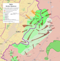
Latakia-Idlib Clashes (2021).svg 1,880 × 1,815; 3.8 MB
-
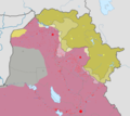
Map of Rojava cantons march 22.png 2,000 × 1,653; 243 KB
-
Syrian Civil War map (September 10 2021).svg 922 × 762; 3.73 MB


