File:Kyrgyzstan raions.png
Jump to navigation
Jump to search

Size of this preview: 800 × 512 pixels. Other resolutions: 320 × 205 pixels | 640 × 409 pixels | 1,024 × 655 pixels | 1,598 × 1,022 pixels.
Original file (1,598 × 1,022 pixels, file size: 16 KB, MIME type: image/png)
Captions
Captions
Add a one-line explanation of what this file represents

|
This map image could be re-created using vector graphics as an SVG file. This has several advantages; see Commons:Media for cleanup for more information. If an SVG form of this image is available, please upload it and afterwards replace this template with
{{vector version available|new image name}}.
It is recommended to name the SVG file “Kyrgyzstan raions.svg”—then the template Vector version available (or Vva) does not need the new image name parameter. |
Summary
[edit]
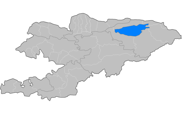
| Description | Map of the raions of Kyrgyzstan. Created by Rarelibra 17:49, 3 August 2007 (UTC) for public domain use, using MapInfo Professional v8.5 and various mapping resources. |
| Date | 3 August 2007 (original upload date) |
| Source | No machine-readable source provided. Own work assumed (based on copyright claims). |
| Author | No machine-readable author provided. Rarelibra assumed (based on copyright claims). |
Licensing
[edit]
| This work has been released into the public domain by its author, I, Rarelibra. This applies worldwide. In some countries this may not be legally possible; if so: I, Rarelibra grants anyone the right to use this work for any purpose, without any conditions, unless such conditions are required by law. |
derivative works
[edit]
Derivative works of this file:
File history
Click on a date/time to view the file as it appeared at that time.
| Date/Time | Thumbnail | Dimensions | User | Comment | |
|---|---|---|---|---|---|
| current | 14:06, 4 August 2010 | | 1,598 × 1,022 (16 KB) | Ras67 (talk | contribs) | background transparence, cropped and squeezed |
| 21:54, 6 July 2010 |  | 1,601 × 1,025 (60 KB) | Ahonc (talk | contribs) | fix Chuy District and fill lake | |
| 17:49, 3 August 2007 |  | 1,601 × 1,025 (32 KB) | Rarelibra (talk | contribs) | Map of the raions of Kyrgyzstan. Created by ~~~~ for public domain use, using MapInfo Professional v8.5 and various mapping resources. |
You cannot overwrite this file.
File usage on Commons
The following 4 pages use this file:
File usage on other wikis
The following other wikis use this file:
- Usage on ar.wikipedia.org
- بيشكك
- أوش (مدينة)
- مقاطعة جلال أباد
- مقاطعة أوش
- مقاطعة طلاس
- مقاطعة باتكين
- نارين
- توكموك
- كاراكول (قرغيزستان)
- جلال آباد (قرغيزستان)
- طلاس (مدينة)
- مقاطعة لينينسكي، بيشكيك
- مقاطعة أوكتيابر، بيشكيك
- مقاطعة بيرينشي ماي، بيشكيك
- مقاطعة سفيردلوف (بيشكيك)
- حي علم الدين
- منطقة تشوي
- مقاطعة جايل
- مقاطعة كيمين
- مقاطعة موسكفا (قرغيزستان)
- مقاطعة بانفيلوف (قرغيزستان)
- قالب:مقاطعات قرغيزستان
- مقاطعة سوقولوق
- مقاطعة إيسيك-آتا
- باليكتشي
- مقاطعة تشوي
- منطقة تونغ
- Usage on en.wikipedia.org
- Bishkek
- Karakol
- Balykchy
- Tokmok
- Ysyk-Ata District
- User talk:Sadalmelik
- Districts of Kyrgyzstan
- User talk:Markussep/Archive 4
- Template:Districts of Kyrgyzstan
- Batken District
- Kadamjay District
- Leylek District
- Alamüdün District
- Chüy District
- Jayyl District
- Kemin District
- Moskva District, Kyrgyzstan
- Panfilov District, Kyrgyzstan
- Sokuluk District
- Ak-Suu District
- Jeti-Ögüz District
- Tong District
- Tüp District
View more global usage of this file.