When autocomplete results are available use up and down arrows to review and enter to select. Touch device users, explore by touch or with swipe gestures.
Scripts de criação de mapas com r Alternativa ao qgis Scripts prontos em nosso ebook #python #r #qgis #mapas
Research on the Spatial Heterogeneity and Influencing Factors of Air Pollution: A Case Study in Shijiazhuang, China
Atmosphere | Free Full-Text | Research on the Spatial Heterogeneity and Influencing Factors of Air Pollution: A Case Study in Shijiazhuang, China
Untitled Document
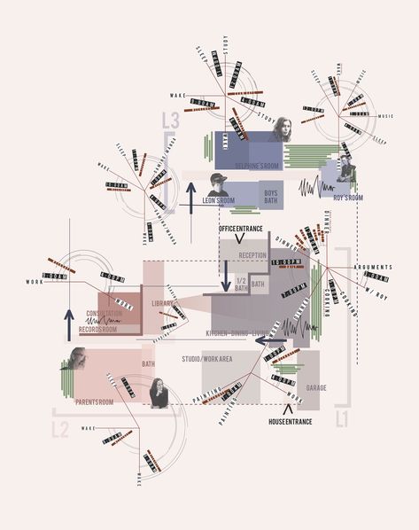
Mapping urban analysis
In 4 graphs and maps: As Chennai grew, wetlands vanished and flooding worsened
In 4 graphs and maps: As Chennai grew, wetlands vanished and flooding worsened
Análise de índices de vegetação
ArcNews Fall 2004 Issue -- ArcGIS Raster Data Models
GIS and Land Records: The ArcGIS Parcel Data Model
GIS and Land Records: The ArcGIS Parcel Data Model: Von Meyer, Nancy: 9781589480773: Books - Amazon.ca
Description du document | Bibliothèque Universitaire d'Angers | BUA
Environmental remote sensing for hydrological capacity building and sustainability, 2017 http://bu.univ-angers.fr/rechercher/description?notice=000888587