Category:1890s maps of Belarus
Media in category "1890s maps of Belarus"
The following 3 files are in this category, out of 3 total.
-
 BATYUSHKOV(1890) p591.jpg 3,617 × 4,107; 9.65 MB
-
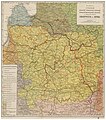
 Meyers leiner Hand-atlas 1893 (73137069).jpg 6,530 × 5,148; 6.53 MB
-
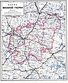 Vilna Governorate Map (1897).jpg 2,552 × 3,121; 1.55 MB


