File:EU-Cyprus.svg
Jump to navigation
Jump to search

Size of this PNG preview of this SVG file: 713 × 600 pixels. Other resolutions: 285 × 240 pixels | 571 × 480 pixels | 913 × 768 pixels | 1,218 × 1,024 pixels | 2,435 × 2,048 pixels | 2,045 × 1,720 pixels.
Original file (SVG file, nominally 2,045 × 1,720 pixels, file size: 7.31 MB)
Captions
Captions
Add a one-line explanation of what this file represents
Summary
[edit]Português:
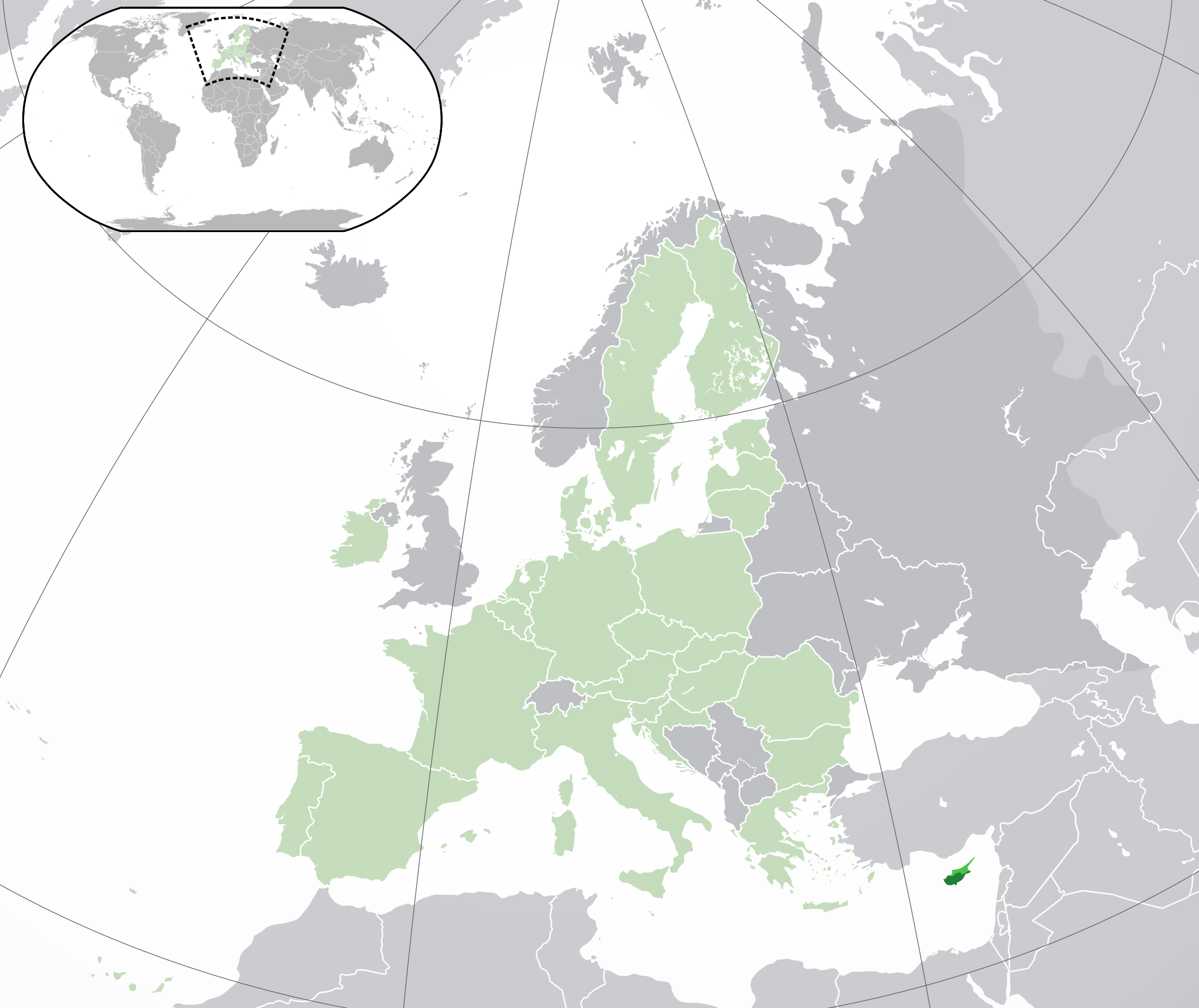
(Verde) Chipre.
(Verde-claro) União Europeia (EU).
(Cinzento) Europa.
(Cinzento-claro) Paises circundantes.
| Description |
bright-green: Turkish Republic of Northern Cyprus English: (Dark-Green) Cyprus. (Light-Green) The rest of the European Union (EU). (Dark-gray) The rest of Europe. (Light-gray) The surrounding region.
See also: |
| SVG development | |
| Date | |
| Source | |
| Author | NuclearVacuum |
| Other versions |
Derivative works of this file: Norhern Cyprus (orthographic projection).png |
| SVG development |


Licensing
[edit]
I, the copyright holder of this work, hereby publish it under the following licenses:
This file is licensed under the Creative Commons Attribution-Share Alike 3.0 Unported license.
- You are free:
- to share – to copy, distribute and transmit the work
- to remix – to adapt the work
- Under the following conditions:
- attribution – You must give appropriate credit, provide a link to the license, and indicate if changes were made. You may do so in any reasonable manner, but not in any way that suggests the licensor endorses you or your use.
- share alike – If you remix, transform, or build upon the material, you must distribute your contributions under the same or compatible license as the original.

|
Permission is granted to copy, distribute and/or modify this document under the terms of the GNU Free Documentation License, Version 1.2 or any later version published by the Free Software Foundation; with no Invariant Sections, no Front-Cover Texts, and no Back-Cover Texts. A copy of the license is included in the section entitled GNU Free Documentation License. |
You may select the license of your choice.
File history
Click on a date/time to view the file as it appeared at that time.
| Date/Time | Thumbnail | Dimensions | User | Comment | |
|---|---|---|---|---|---|
| 19:36, 16 November 2014 |  | 2,045 × 1,720 (7.38 MB) | Leftcry (talk | contribs) | Reverted to version as of 11:31, 9 September 2014 Please go to your talk page | |
| 16:22, 16 November 2014 |  | 2,045 × 1,720 (2.89 MB) | A2D2 (talk | contribs) | The map must show the original de-jure status with no breakaway regions, as it was originally created. An alternative map showing the de-facto status with breakaway regions needs to be created instead. | |
| 11:31, 9 September 2014 |  | 2,045 × 1,720 (7.38 MB) | Rob984 (talk | contribs) | Cyprus is not within Europe. Insert unnecessary. Other General improvements. | |
| 08:46, 1 July 2013 |  | 2,045 × 1,720 (2.89 MB) | U5K0 (talk | contribs) | croatia | |
| 20:25, 28 May 2012 |  | 2,045 × 1,720 (2.88 MB) | Chipmunkdavis (talk | contribs) | Increasing the detail of the inset using the image from File:Akrotiri and Dhekelia in United Kingdom.svg, greying out Akrotiri and Dhekelia, and increasing the lightness of the breakaway north while adding small black lines illustrating UN buffer zone ... | |
| 14:59, 23 October 2009 |  | 2,045 × 1,720 (2.6 MB) | NuclearVacuum (talk | contribs) | consensus version | |
| 19:01, 18 October 2009 |  | 2,045 × 1,720 (2.62 MB) | NuclearVacuum (talk | contribs) | minor | |
| 18:50, 18 October 2009 |  | 2,045 × 1,720 (2.62 MB) | NuclearVacuum (talk | contribs) | final version | |
| 17:44, 17 October 2009 |  | 680 × 520 (530 KB) | NuclearVacuum (talk | contribs) | new version | |
| 16:16, 17 October 2009 |  | 680 × 520 (528 KB) | NuclearVacuum (talk | contribs) | {{Information |Description={{en|1={{EU-SVG-en|Cyprus]]}}}} |Source=*File:Blank map europe.svg<br>{{Inkscape}} |Author=NuclearVacuum |Date=2009-10 |Permission= |other_versions=*File:Location Cyprus EU Europe.png } |
You cannot overwrite this file.
File usage on Commons
The following 36 pages use this file:
- Κύπρος - Kıbrıs
- User:Kolja21/Location State EU Europe
- User:Mr Taz~commonswiki/comparative federalism
- User:NuclearVacuum
- File:EU-Austria.svg
- File:EU-Belgium.svg
- File:EU-Bulgaria.svg
- File:EU-Croatia.svg
- File:EU-Cyprus.svg
- File:EU-Czech Republic.svg
- File:EU-Denmark.svg
- File:EU-Estonia.svg
- File:EU-Finland.svg
- File:EU-France.svg
- File:EU-Germany.svg
- File:EU-Greece.svg
- File:EU-Hungary.svg
- File:EU-Ireland.svg
- File:EU-Italy.svg
- File:EU-Latvia.svg
- File:EU-Lithuania.svg
- File:EU-Poland.svg
- File:EU-United Kingdom.svg
- File:EU location CYP magnified.png
- File:European Union-Cyprus.svg (file redirect)
- File:Location Belgium EU Europe.png
- File:Location Bulgaria EU Europe.png
- File:Location Cyprus EU Europe.png
- File:Location Cyprus in EU.PNG
- File:Location France EU Europe.png
- File:Location Germany EU Europe.png
- File:Location Netherlands EU Europe.png
- File:Location Poland EU Europe.png
- File:Location Portugal EU Europe.png
- File:Norhern Cyprus (orthographic projection).png
- File:Northern Cyprus (orthographic projection).svg
File usage on other wikis
The following other wikis use this file:
- Usage on af.wikipedia.org
- Usage on ami.wikipedia.org
- Usage on an.wikipedia.org
- Usage on arc.wikipedia.org
- Usage on ar.wikipedia.org
- Usage on ar.wiktionary.org
- Usage on as.wikipedia.org
- Usage on azb.wikipedia.org
- Usage on az.wikipedia.org
- Usage on bcl.wikipedia.org
- Usage on be-tarask.wikipedia.org
- Usage on bew.wikipedia.org
- Usage on bh.wikipedia.org
- Usage on bi.wikipedia.org
- Usage on bn.wikipedia.org
- Usage on bo.wikipedia.org
- Usage on br.wikipedia.org
- Usage on ca.wikipedia.org
- Usage on cbk-zam.wikipedia.org
- Usage on cdo.wikipedia.org
- Usage on chr.wikipedia.org
- Usage on ckb.wikipedia.org
- Usage on co.wikipedia.org
- Usage on cs.wikipedia.org
- Usage on da.wikipedia.org
- Usage on de.wikipedia.org
- Usage on dtp.wikipedia.org
- Usage on el.wikipedia.org
- Usage on en.wikipedia.org
View more global usage of this file.