Size of this preview: 612 × 600 pixels. Other resolutions: 245 × 240 pixels | 490 × 480 pixels.
Original file (800 × 784 pixels, file size: 472 KB, MIME type: image/jpeg)
File history
Click on a date/time to view the file as it appeared at that time.
| Date/Time | Thumbnail | Dimensions | User | Comment | |
|---|---|---|---|---|---|
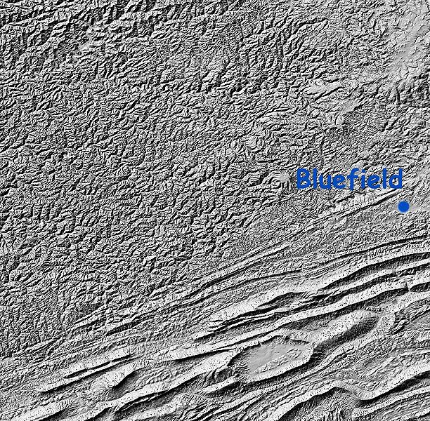
| current | 18:47, 5 February 2006 |  | 800 × 784 (472 KB) | Maksim | La bildo estas kopiita de wikipedia:en. La originala priskribo estas: Relief Map: Cumberland Plateau, West Virginia and "Ridge and Valley" region of Virginia Image is Shaded Relief Imagery, derived from the US Geological Survey National Elevation Datase |
File usage
The following 7 pages use this file:
Global file usage
The following other wikis use this file:
- Usage on ca.wikipedia.org
- Usage on da.wikipedia.org
- Usage on eo.wikipedia.org
- Usage on es.wikipedia.org
- Usage on it.wikipedia.org
- Usage on ja.wikipedia.org
- Usage on nn.wikipedia.org
- Usage on pt.wikipedia.org
