El Ali District: Difference between revisions
Appearance
Content deleted Content added
No edit summary Tags: Mobile edit Mobile web edit |
Zki Tags: Reverted Visual edit Mobile edit Mobile web edit |
||
| Line 56: | Line 56: | ||
}} |
}} |
||
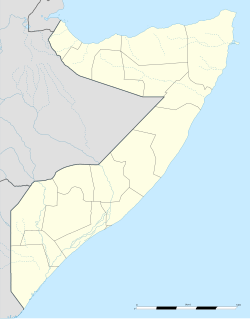
'''El Ali''' ({{lang-so|Ceel Cali}}) is a District in the central [[Hiran, Somalia|Hiran]] region of [[Somalia]]. |
'''El Ali''' ({{lang-so|Ceel Cali}}) is a District in the central [[Hiran, Somalia|Hiran]] region of [[Somalia]]. |
||
El Ali has a population of around 190,000 inhabitants. The broader El Ali District has a total population of |
El Ali has a population of around 190,000 inhabitants. The broader El Ali District has a total population of 743,345 residents. El Ali means (Ali's well). |
||
==Location== |
==Location== |
||
Revision as of 21:20, 12 October 2021
El Ali | |
|---|---|
district | |
| Coordinates: 4°12′0″N 44°59′0″E / 4.20000°N 44.98333°E | |
| Country | |
| Region | Hiran |
| Time zone | UTC+3 (EAT) |
El Ali (Somali: Ceel Cali) is a District in the central Hiran region of Somalia. El Ali has a population of around 190,000 inhabitants. The broader El Ali District has a total population of 743,345 residents. El Ali means (Ali's well).
Location
It is situated 75 km south west of Beledweyne, the capital of the Hiiraan region .
Demographics
El Ali is predominantly inhabited by people from the Somali ethnic group, with the Gaaljecel clan especially well represented.
References
4°12′N 44°59′E / 4.200°N 44.983°E
