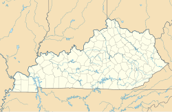
Jonkan, Kentucky
Appearance
Jonkan, Kentucky | |
|---|---|
| Coordinates: 37°26′58″N 82°23′32″W / 37.44944°N 82.39222°W | |
| Country | United States |
| State | Kentucky |
| County | Pike |
| Elevation | 879 ft (268 m) |
| GNIS feature ID | 2120864[1] |
Jonkan (also known as Jonican) is a ghost town in Pike County, Kentucky, United States. Jonkan was located along Jonican Branch and Jonican Road 7.2 miles (11.6 km) east-southeast of Pikeville. The community is still marked on county highway maps.[2]
References
- ^ "Jonkan (historical)". Geographic Names Information System. United States Geological Survey, United States Department of the Interior.
- ^ State Primary Road System: Pike County (PDF) (Map). Kentucky Transportation Cabinet. 2013. Retrieved June 9, 2013.

