

Coadan:Finland adm location map.svg

Jeeskeaylley ymlane (coadan SVG, 1,020 × 1,643 pixelyn dy ennymagh, mooadys y choadan: 951 KB)
Giare-choontey
| Coontey |
Deutsch: Positionskarte von Finnland
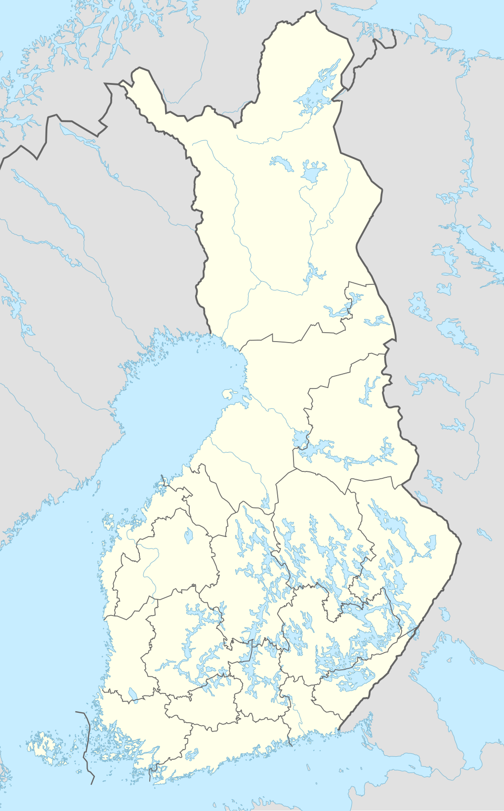
English: Location map of Finland
|
||||||||||||
| Date | |||||||||||||
| Bun |
Own work using:
|
||||||||||||
| Author | NordNordWest | ||||||||||||

|
This map has been made or improved in the German Kartenwerkstatt (Map Lab). You can propose maps to improve as well.
|
Kieddagh:
Usage of this file with:

explanatory notes: Legally binding is only the full legalcode. For a free usage I recommend to respect the following licence conditions:
1. Provide my name as given above: NordNordWest,
2. a copy of, or the URI for, the applicable license: https://creativecommons.org/licenses/by-sa/3.0/de/legalcode,
3. the title of the work,
4. in the case of an adaptation, a credit identifying the use of the work in the adaptation.
This license and the rights granted hereunder will terminate automatically upon any breach by you of the terms of this license. Any of the above conditions can be waived if you get permission from the copyright holder. If you have questions or wish differing conditions, please contact me through nnwest or my discussion page ![]() t-online.de
t-online.de
- You are free:
- to share – to copy, distribute and transmit the work
- to remix – to adapt the work
- Under the following conditions:
- attribution – You must give appropriate credit, provide a link to the license, and indicate if changes were made. You may do so in any reasonable manner, but not in any way that suggests the licensor endorses you or your use.
- share alike – If you remix, transform, or build upon the material, you must distribute your contributions under the same or compatible license as the original.

Shennaghys y choadan
Crig er daayt/am ennagh son fakin er y choadan myr v’eh ec y traa shen.
| Daayt/Am | Ingin-ordaag | Towshanyn | Ymmydeyr | Cohaggloo | |
|---|---|---|---|---|---|
| bio | 18:07, 26 Jerrey Geuree 2021 | | 1,020 × 1,643 (951 KB) | NordNordWest | more precise new borders |
| 11:00, 26 Jerrey Geuree 2021 |  | 1,020 × 1,643 (949 KB) | Fenn-O-maniC | Updated regional borders as per https://asiointi.maanmittauslaitos.fi/karttapaikka/ | |
| 08:42, 13 Jerrey Fouyir 2014 |  | 1,020 × 1,643 (953 KB) | NordNordWest | corr | |
| 08:19, 18 Mean Fouyir 2014 |  | 1,020 × 1,643 (953 KB) | NordNordWest | == {{int:filedesc}} == {{Information |Description= {{de|1=Positionskarte von Finnland}} {{en|1=Location map of Finland}} <!-- exact information to follow...--> {{Info}} This map is part of a series of location maps with unified standards: SVG as file f... |
Ymmyd y choadan
Global file usage
The following other wikis use this file:
- Usage on af.wikipedia.org
- Usage on als.wikipedia.org
- Usage on ar.wikipedia.org
- Usage on ast.wikipedia.org
- Ḥélsinki
- Llagu Pyhäjärvi
- Mäntyniemi
- Kultaranta
- Espoo
- Módulu:Mapa de llocalización/datos/Finlandia
- Marieḥamn
- Acueductu de Päijänne
- Tampere
- Vantaa
- Oulu
- Kuopio
- Lahti
- Jyväskylä
- Turku
- Hämeenlinna
- Joensuu
- Llagu Päijänne
- Llagu Saimaa
- Badea de Botnia
- Mar d'Åland
- Mar de Botnia
- Kvarken
- Rovaniemi
- Halsua
- Kokkola
- Mikkeli
- Hailuoto
- Bolsa de Ḥélsinki
- Módulu:Mapa de llocalización/datos/Finlandia/usu
- Aeropuertu d'Enontekiö
- Aeropuertu d'Ivalo
- Aeropuertu de Joensuu
- Aeropuertu de Jyväskylä
- Aeropuertu de Kajaani
- Aeropuertu de Kemi-Tornio
- Aeropuertu de Kittilä
- Aeropuertu de Kuopio
- Aeropuertu de Kuusamo
- Aeropuertu de Lappeenranta
- Aeropuertu de Marieḥamn
- Aeropuertu de Pori
- Aeropuertu de Rovaniemi
View more global usage of this file.