
Britain map
Discover Pinterest’s best ideas and inspiration for Britain map. Get inspired and try out new things.
1k people searched this
·
Last updated 3d

Map Of Ireland And Scotland | My Blog

great britain map
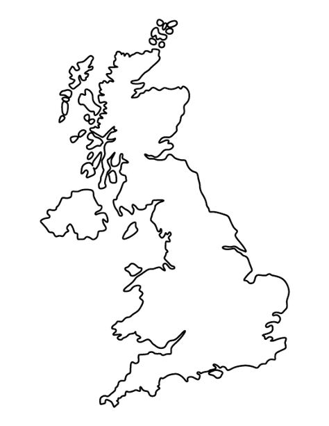
Free printable united kingdom pattern. Cut out the shape and use it for coloring, crafts, stencils, and more.

This UK flag map shows the flag of the US superimposed over the map of the United Kingdom. #UK #Maps #Flag #Geography

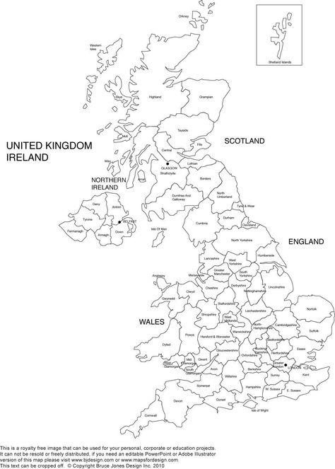
A political map of United Kingdom showing major cities, roads, water bodies for England, Scotland, Wales and Northern Ireland.

British flag on the map. High detailed United Kingdom map with flag inside. European country borders vector illustration on light gray background. Download a free preview or high-quality Adobe Illustrator (ai), EPS, PDF, SVG vectors and high-res JPEG and PNG images.

Funny hand drawn cartoon great britain m... | Premium Vector #Freepik #vector #kids #city #map #crown
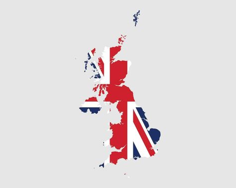
Download the United Kingdom Flag Map. Map of the United Kingdom of Great Britain and Northern Ireland with the British country banner. Vector Illustration. 26422230 royalty-free Vector from Vecteezy for your project and explore over a million other vectors, icons and clipart graphics!

A map of the UK including Scotland, England, Wales and Northern Ireland

History map of England after the Peace of Wedmore 878.

Download Flag Of England Flag Of The United Kingdom Flag Of Great Britain PNG image with a resolution of 780 x 1083 pixels. This image is filed under the tags: Area, Artwork, England, English, Fictional Character
Flag Coloring Pages Free American Flag Coloring Pages. Flag Coloring Pages Gorgeous Inspiration South Dakota State Flag Coloring Page Best. Flag Coloring Pages Free American Flag Coloring Pages. Flag Coloring Pages Coloring Pages Coloringes American Flag And Flags Of The… Continue Reading →

See Britain's musical landscape mapped out quite literally.

pen & pencil on paper 30 x 20 cm 2010

Visit Britain Foodie Map – Sara Mulvanny Illustration

So London is very big and the UK is smaller than Texas. Most of these via the MapPorn subreddit.

The subject of empire is fraught. It is not politically correct to say anything good about the imperial projects that collapsed following the Second World War, and the British Empire has taken a worse beating than its less comprehensive counterparts. British Food in America is the online magazine dedicated to the discussion and revival of British foodways. Articles and recipes feature English foods from Britain, the British colonies, foods of the British commonwealth, England and United…

Detailed map of the United Kingdom, Great Britain, and England. Features iconic cities like London, and is suitable for travel, tourism, and geography related searches. Perfect for visualizing countries, flags and travel destinations. Download a free preview or high-quality Adobe Illustrator (ai), EPS, PDF, SVG vectors and high-res JPEG and PNG images.


