File:Victoria locator-MJC.png
From Infogalactic: the planetary knowledge core
No higher resolution available.
Victoria_locator-MJC.png (563 × 476 pixels, file size: 12 KB, MIME type: image/png)
Summary
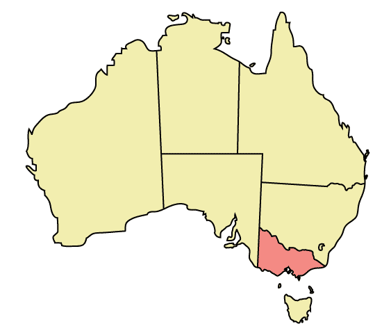
Map of Australia highlighting Victoria
Made in Adobe Illustrator by Martynam and released under the GFDL
Licensing
Lua error in package.lua at line 80: module 'strict' not found.
File history
Click on a date/time to view the file as it appeared at that time.
| Date/Time | Thumbnail | Dimensions | User | Comment | |
|---|---|---|---|---|---|
| current | 17:38, 4 January 2017 | | 563 × 476 (12 KB) | 127.0.0.1 (talk) | Map of Australia highlighting Victoria Made in Adobe Illustrator by Martynam and released under the GFDL Category:Maps of Australia |
- You cannot overwrite this file.
File usage
More than 100 pages link to this file. The following list shows the first 100 page links to this file only. A full list is available.
- Ardeer, Victoria
- Attwood, Victoria
- Beaumaris Bay
- Bittern, Victoria
- Blairgowrie, Victoria
- Bonbeach, Victoria
- Boneo, Victoria
- Bridge Road, Melbourne
- Brooklyn, Victoria
- Burke Road, Melbourne
- Burnside, Victoria
- Calder Park, Victoria
- Cardinia Creek
- Caulfield East, Victoria
- Centre Place, Melbourne
- Chelsea Heights, Victoria
- Chum Creek, Victoria
- City of Maroondah
- Clyde, Victoria
- Clyde North, Victoria
- Coolaroo, Victoria
- Cottles Bridge, Victoria
- Cranbourne South, Victoria
- Crib Point, Victoria
- Croydon North, Victoria
- Croydon South, Victoria
- Dandenong North, Victoria
- Dandenong South, Victoria
- Deepdene, Victoria
- Delahey, Victoria
- Don Valley, Victoria
- Donvale, Victoria
- Eumemmerring, Victoria
- Flemington Road, Melbourne
- Geography of Victoria
- Glenferrie Road
- Greenvale Reservoir
- Gruyere, Victoria
- Heidelberg Heights, Victoria
- High Street, Melbourne
- Hillside, Victoria
- Hobsons Bay
- Jells Park
- Kalorama, Victoria
- Kangaroo Ground, Victoria
- Karkarook Park
- Kilsyth South, Victoria
- Kooyong, Victoria
- Kurunjang, Victoria
- LGBT rights in Victoria
- Laburnum, Victoria
- Launching Place, Victoria
- Limeburners Bay
- Little Bourke Street, Melbourne
- Macclesfield, Victoria
- Main Ridge, Victoria
- Maling Road, Melbourne
- Maribyrnong Road
- Melbourne Airport, Victoria
- Melton, Victoria (suburb)
- Menzies Creek, Victoria
- Merricks North, Victoria
- Mickleham, Victoria
- Monbulk, Victoria
- Mont Albert, Victoria
- Mont Albert North, Victoria
- Mount Cottrell, Victoria
- Narre Warren East, Victoria
- Noble Park North, Victoria
- Nutfield, Victoria
- Oaklands Junction, Victoria
- Parkdale, Victoria
- Ravenhall, Victoria
- Red Hill, Victoria
- Red Hill South, Victoria
- Rockbank, Victoria
- Rosebud West, Victoria
- Rosstown Railway Heritage Trail
- Russell Street, Melbourne
- Seville, Victoria
- Seville East, Victoria
- Sherbrooke, Victoria
- Silvan, Victoria
- Simpson Barracks
- Skye, Victoria
- Somerton, Victoria
- South Channel Pile Light
- Stony Creek (Melbourne)
- Sweeneys Flats
- Sydenham, Victoria
- The Rip
- Toolern Creek
- Toolern Vale, Victoria
- Tremont, Victoria
- Upfield, Victoria
- Warneet, Victoria
- Warranwood, Victoria
- Watsons Creek, Victoria
- Wattle Glen, Victoria
- Yallambie, Victoria