ファイル:Egypt adm location map.svg

元のファイル (SVG ファイル、1,055 × 973 ピクセル、ファイルサイズ: 331キロバイト)
ウィキメディア・コモンズのファイルページにある説明を、以下に表示します。
|
概要
| 解説 |
Deutsch: Positionskarte von Ägypten
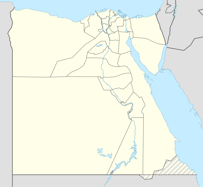
English: Location map of Egypt
|
||||||||||||
| 日付 | |||||||||||||
| 原典 |
次のものを使用した投稿者自身による著作物::
|
||||||||||||
| 作者 | NordNordWest | ||||||||||||
| SVG 開発 | この ベクター画像はAdobe Illustratorで作成されました。
|
||||||||||||

ライセンス
Usage of this file with:

explanatory notes: Legally binding is only the full legalcode. For a free usage I recommend to respect the following licence conditions:
1. Provide my name as given above: NordNordWest,
2. a copy of, or the URI for, the applicable license: https://creativecommons.org/licenses/by-sa/3.0/de/legalcode,
3. the title of the work,
4. in the case of an adaptation, a credit identifying the use of the work in the adaptation.
This license and the rights granted hereunder will terminate automatically upon any breach by you of the terms of this license. Any of the above conditions can be waived if you get permission from the copyright holder. If you have questions or wish differing conditions, please contact me through nnwest or my discussion page ![]() t-online.de
t-online.de
- あなたは以下の条件に従う場合に限り、自由に
- 共有 – 本作品を複製、頒布、展示、実演できます。
- 再構成 – 二次的著作物を作成できます。
- あなたの従うべき条件は以下の通りです。
- 表示 – あなたは適切なクレジットを表示し、ライセンスへのリンクを提供し、変更があったらその旨を示さなければなりません。これらは合理的であればどのような方法で行っても構いませんが、許諾者があなたやあなたの利用行為を支持していると示唆するような方法は除きます。
- 継承 – もしあなたがこの作品をリミックスしたり、改変したり、加工した場合には、あなたはあなたの貢献部分を元の作品とこれと同一または互換性があるライセンスの下に頒布しなければなりません。

ファイルの履歴
過去の版のファイルを表示するには、その版の日時をクリックしてください。
| 日付と時刻 | サムネイル | 寸法 | 利用者 | コメント | |
|---|---|---|---|---|---|
| 現在の版 | 2017年1月17日 (火) 20:51 | | 1,055 × 973 (331キロバイト) | NordNordWest | corr |
| 2014年11月9日 (日) 16:48 |  | 1,055 × 973 (331キロバイト) | NordNordWest | == {{int:filedesc}} == {{Information |Description= {{de|1=Positionskarte von Ägypten}} {{en|1=Location map of Egypt}} {{Location map series N |stretching=111,8685 |top=32.1 |bottom=21.3 |left=24.2 |right=37.3 }} |Source={{Own using}} * United States N... |
ファイルの使用状況
以下の 72 ページがこのファイルを使用しています:
- 10月6日市
- アイン・スクナ
- アシュート空港
- アスワン国際空港
- アビドス
- アフリカネイションズカップ2019
- アブ・シンベル
- アブ・シンベル空港
- アマルナ
- アレクサンドリア国際空港
- イチ・タウィ
- イブン・トゥールーン・モスク
- エジプト・サッカー暴動
- エスナ
- エドフ
- エル・アラメイン
- オクシリンコス
- カイロ国際空港
- カイロ西空軍基地
- カフル・アッシャイフ
- カルナック (エジプト)
- ギーザ
- クウス
- ケナ
- コム・オンボ
- サイス
- サッカラ
- ザガジグ
- シビーン・コーム
- シャルム・エル・シェイク
- シャルム・エル・シェイク国際空港
- スエズ運河橋
- ソハーグ
- タガール作戦
- タニス
- ダハシュール
- ダハブ
- ダマンフール
- チラン島
- ディスーク
- デンデラ
- ナウクラティス
- ナグリグ
- ニューカイロ
- ハライブ
- バウーティー
- バビロン (エジプト)
- バンハー
- ビル・タウィール
- ファラオ島
- フルガダ国際空港
- ブバスティス
- ヘラクレオポリス
- ヘルワン
- ベニハッサン村
- ベニ・スエフ
- ペル・ラムセス
- ボルグ・エル・アラブ空港
- ポートフアード
- マラウィ (エジプト)
- マルサ・アラム国際空港
- マルサ・マトルーフ
- ミニヤー
- メンフィス (エジプト)
- ルクソール国際空港
- ルクソール熱気球墜落事故
- ロゼッタ (エジプト)
- ワジハルファ突出
- 赤いピラミッド
- 利用者:Inforiver/sandbox
- モジュール:Location map/data/Egypt
- モジュール:Location map/data/Egypt/doc
グローバルなファイル使用状況
以下に挙げる他のウィキがこの画像を使っています:
- af.wikipedia.org での使用状況
- an.wikipedia.org での使用状況
- ar.wikipedia.org での使用状況
このファイルのグローバル使用状況を表示する。