Metamora, Illinois
Utseende
| Metamora | |
| village | |
Adlai Stevensons hus.
| |
| Land | |
|---|---|
| Delstat | Illinois |
| County | Woodford County |
| Höjdläge | 249 m ö.h. |
| Koordinater | 40°47′26″N 89°21′38″V / 40.79056°N 89.36056°V |
| Yta | 5,31 km² (2010) |
| - land | 5,30 km² |
| - vatten | 0,01 km² |
| Folkmängd | 3 636 (2010) |
| Befolkningstäthet | 686 invånare/km² |
| Tidszon | CST (UTC-6) |
| - sommartid | CDT (UTC-5) |
| ZIP-kod | 61548 |
| Riktnummer | 309 |
| FIPS | 1748606 |
| Geonames | 4902065 |
|
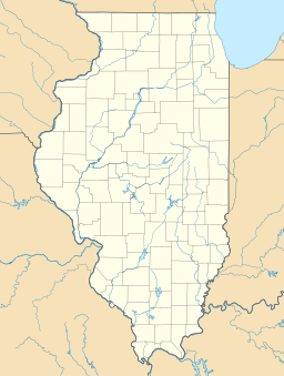
Ortens läge i Illinois
| |
|
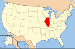
Illinois läge i USA
| |
| Webbplats: villageofmetamora.com | |
Metamora är ett municipalsamhälle (village) i Woodford County i Illinois.[1] Vid 2010 års folkräkning hade Metamora 3 636 invånare.[2]
Källor
[redigera | redigera wikitext]- ^ Metamora, IL. Map Quest. Läst 30 oktober 2021.
- ^ 2010 Census Population of Metamora, Illinois Arkiverad 30 oktober 2021 hämtat från the Wayback Machine.. Census Viewer. Läst 30 oktober 2021.
|


