File:LA2-Bering-Sea.png
From Infogalactic: the planetary knowledge core
Size of this preview: 800 × 430 pixels. Other resolutions: 320 × 172 pixels | 960 × 516 pixels.
Original file (960 × 516 pixels, file size: 110 KB, MIME type: image/png)
Summary
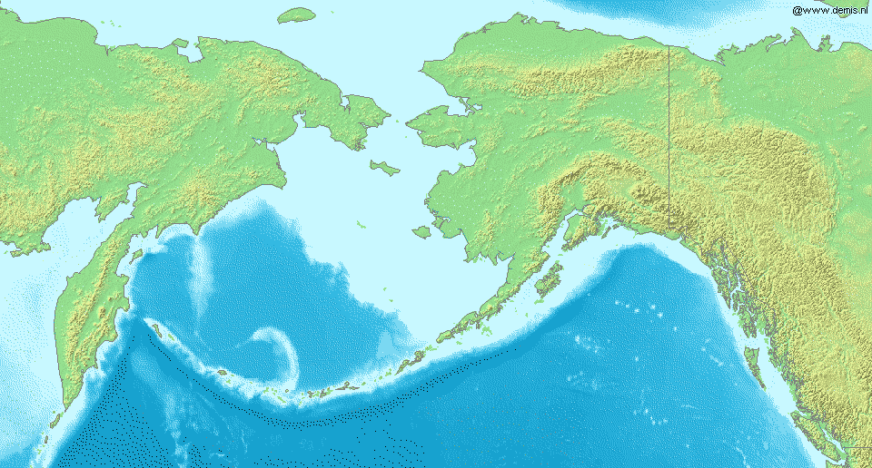
Map of en:Bering Sea. National borders between Alaska, Canada, and the continental United States are shown.
Bounding box West -210°, South 48°, East -120°, North 72°. Center at Lua error in package.lua at line 80: module 'strict' not found..
Template:Demis-pd [[ca
Licensing
Lua error in package.lua at line 80: module 'strict' not found.
File history
Click on a date/time to view the file as it appeared at that time.
| Date/Time | Thumbnail | Dimensions | User | Comment | |
|---|---|---|---|---|---|
| current | 13:16, 14 January 2017 | | 960 × 516 (110 KB) | 127.0.0.1 (talk) | Map of en:Bering Sea. National borders between Alaska, Canada, and the continental United States are shown. Bounding box West -210°, South 48°, East -120°, North 72°. Center at {{coor d|60.00000|N|165.00000|W|scale:14400000}}. {{demis-pd}} [[ca |
- You cannot overwrite this file.
File usage
The following page links to this file: