Lanfair Valley
| Lanfair Valley | |
| Valley | |
|
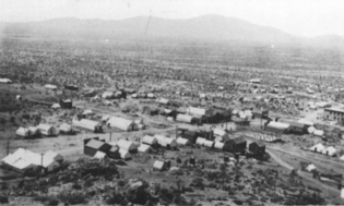
Hart Ghost Town
(northeast Lanfair Valley) |
|
| Country | United States |
|---|---|
| State | California |
| Region | Mojave National Preserve ((southeast)-Mojave Desert) |
| Municipality | San Bernardino County, CA |
| Borders on | New York & Castle Mtns-N Piute Range-E Woods Mountains-S Pinto Valley-W |
| City | Cima, CA–(Kelso, CA) |
| Highest point | |
| - elevation | 4,045 ft (1,233 m) |
| Length | 30 mi (48 km), ? |
| Timezone | Pacific (UTC-8) |
| - summer (DST) | PDT (UTC-7) |
| Topo map | USGS Castle Peaks |
| Lanfair V. | |
|---|---|
| Valley | |
| Coordinates: Lua error in package.lua at line 80: module 'strict' not found. |
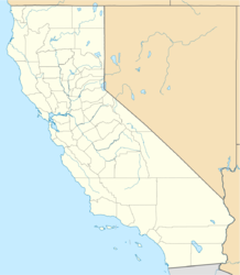
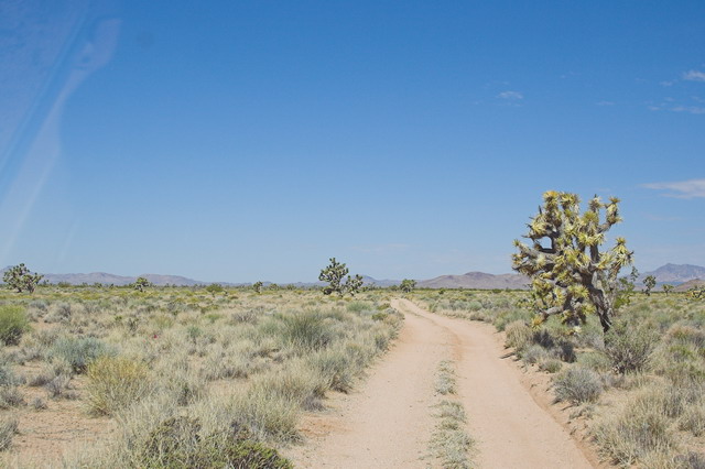
Lanfair Valley is located in the Mojave Desert in southeastern California near the Nevada state line. It is bounded on the north by the New York Mountains and Castle Mountains, on the east by the Piute Range, and on the south by the Woods Mountains and Vontrigger Hills. Joshua Trees can be found in most of the valley. Elevation is 4,045 feet.
The central part of the valley contains the Grotto Hills (also known as Giotto Hills) and Lanfair Buttes. The valley is home to the Lanfair ghost town at the intersection of Cedar Canyon Road and Lanfair Road. While once thriving, all that is now left of the town of Lanfair is rubble. Both Lanfair Valley, and its ghost town, are named for Ernest L. Lanfair, a settlement owner. Tens of thousand of acres in the valley are privately held, despite being located in the Mojave National Preserve. Few people live in the valley today, but at one time there were schools, farms, post offices, and even a railroad.
Geography
The Hart ghost town site in the northeast of the Lanfair Valley is located at Lua error in package.lua at line 80: module 'strict' not found.. Lanfair ghost town site is located at Lua error in package.lua at line 80: module 'strict' not found..
References
- Lua error in package.lua at line 80: module 'strict' not found.
- Casebier, Dennis G. Lanfair Valley - A Black Homesteading Experience - [1]


