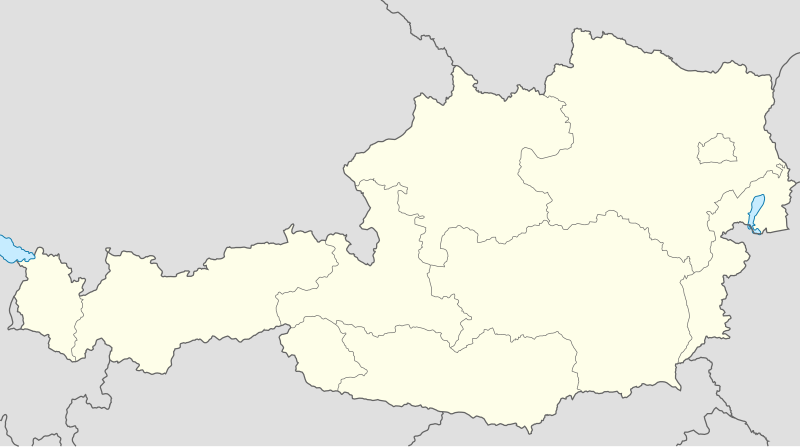
Payl:Austria location map.svg

Size of this PNG preview of this SVG file: 800 x 446 ka mga piksel. Uban pang mga resoluyon: 320 x 178 ka mga piksel | 640 x 357 ka mga piksel | 1,024 x 571 ka mga piksel | 1,280 x 713 ka mga piksel | 2,560 x 1,427 ka mga piksel | 1,256 x 700 ka mga piksel.
Tibuok resolusyon (SVG nga payl, nominally 1,256 × 700 pixels, size sa payl: 161 KB)
Kaagi sa payl
I-klik ang petsa/oras aron makit-an ang hulagway sa payl niadtong panahona.
| Petsa/Takna | Thumbnail | Mga dimensyon | Tiggamit | Komento | |
|---|---|---|---|---|---|
| kasamtangan | 16:25, 11 Septiyembre 2008 |  | 1,256 × 700 (161 KB) | Lencer | {{Information |Description= |Source= |Date= |Author= |Permission= |other_versions= }} |
| 15:16, 10 Septiyembre 2008 |  | 1,256 × 700 (157 KB) | Lencer | {{Information |Description= |Source= |Date= |Author= |Permission= |other_versions= }} | |
| 11:34, 18 Hulyo 2008 |  | 1,256 × 700 (149 KB) | NordNordWest | {{Information |Description= {{de|Positionskarte von Österreich}} Quadratische Plattkarte, N-S-Streckung 150 %. Geographische Begrenzung der Karte: * N: 49.2° N * S: 46.3° N * W: 9.4° O * O: 17.2° O {{en|Location map of [[: |
Mga paggamit sa payl
More than 100 pages use this file. The following list shows the first 100 pages that use this file only. A full list is available.
- Baba
- Bach (pagklaro)
- Bela
- Berg (pagklaro)
- Bernstein
- Bistrica
- Breg
- Breitenberg
- Buchenberg
- Cimba
- Dobra
- Dobrava
- Feistritz
- Fischbach
- Fliess
- Gabel
- Galgenberg
- Geier
- Glan
- Golica
- Gradec
- Gunga
- Haag
- Hart
- Hartberg
- Holzbach
- Horn
- Hornbach
- Hundskogel
- Inn
- Itter
- Javornik
- Kaiser
- Kapellen
- Kar
- Keil
- Keller
- Kessel
- Kirchberg
- Koren (pagklaro)
- Kozjak
- Krasta
- Kreuz Berg
- Laka
- Lang
- Langeck
- Langer Berg
- Lindenberg
- Lipnica
- Loich
- Loser
- Lärchkogel
- Malta (pagklaro)
- Mann
- Meisenberg
- Moll
- Moosbach
- Muellendorf
- Mullendorf
- Mur
- Müllendorf
- Navis
- Novi Grad
- Novo Selo
- Obersee
- Pama
- Pill
- Planja
- Ranna
- Reid
- Rosanna
- Rosenthal
- Rošca
- Rudnik
- Rum
- Rust
- Rušta
- Schafgraben
- Seekopf
- Selenitza
- Sille
- Steinbach (pagklaro)
- Steinfeld
- Steinkopf
- Steinwand
- Strassen
- Strengen
- Tafelberg
- Tal
- Tor (pagklaro)
- Untersee
- Weiler
- Weissenstein
- Weißenstein
- Zaya
- Zell
- Zuckerhut
- Zwiesel Berg
- Zwieselberg
- Gumagamit:Lsjbot/geotest/Neu-Guntramsdorf
View more links to this file.
Global nga paggamit sa payl
Kining ubang wiki naggamit ning maong payl:
- Paggamit sa af.wikipedia.org
- Paggamit sa als.wikipedia.org
- Egg (Vorarlberg)
- Salzburg
- Hohenems
- Bregenz
- Wien
- Lustenau
- Feldkirch (Vorarlberg)
- Satteins
- Dornbirn
- Altach
- Vorlage:Infobox Ort in Österreich
- Vorlage:Positionskarte Österreich
- Mäder
- Klaus (Vorarlberg)
- Koblach
- Götzis
- Weiler (Vorarlberg)
- Bludenz
- Zwischenwasser
- Frastanz
- Innsbruck
- Höchst (Vorarlberg)
- Alberschwende
- Andelsbuch
- Au (Vorarlberg)
- Bartholomäberg
- Bezau
- Bildstein (Vorarlberg)
- Bizau
- Blons
- Bludesch
- Brand (Vorarlberg)
- Buch (Vorarlberg)
- Bürs
- Bürserberg
- Dalaas
- Damüls
- Doren
- Düns
- Dünserberg
- Eichenberg (Vorarlberg)
- Fontanella
- Fraxern
- Fußach
- Gaißau
- Gaschurn
- Göfis
- Hard
View more global usage of this file.


