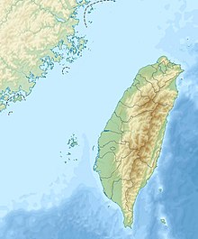
Gupo Island
Appearance
 | |
| Geography | |
|---|---|
| Location | Baisha, Penghu, Taiwan |
| Coordinates | 23°42′54″N 119°33′22″E / 23.715°N 119.556°E |
Gupo Island (Chinese: 姑婆嶼; pinyin: Gūpó Yǔ; Pe̍h-ōe-jī: Ko͘-pô-sū), also transliterated as Koba Island, is an island in Baisha Township, Penghu County, Taiwan.[1][2]
Demographics
[edit]

The island is uninhabitated.
Economy
[edit]Nearby residents come to the island for laver harvest in early winter every year.[3]
See also
[edit]References
[edit]- ^ "Koba Island: Taiwan". Geographical names. 2012. Retrieved 31 March 2016.
- ^ "GeoNames Search". Geographic Names Database. National Geospatial-Intelligence Agency, USA. Retrieved 31 March 2016.
- ^ "Gupo Island". Taiwan, the Heart of Asia. Retrieved 8 December 2017.
Wikimedia Commons has media related to Gupo Island.
