Jew Valley
Appearance
| Jew Valley | |
|---|---|
| Floor elevation | 4,569 ft (1,393 m) |
| Geography | |
| Location | United States, Oregon, Lake Country |
| Coordinates | 43°17′55″N 120°05′19″W / 43.29848°N 120.08858°W |
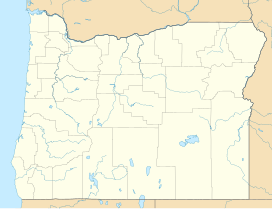
Jew Valley is a basin in Lake County, Oregon, in the United States.[1]
Jew Valley was named for a colony of Jewish farmers who settled there in the early 20th century.[2]
References
[edit]- ^ U.S. Geological Survey Geographic Names Information System: Jew Valley
- ^ Olsen, Polina (2011). Stories from Jewish Portland. The History Press. p. 19. ISBN 978-1-60949-348-6.
