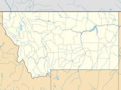
Mill Iron, Montana
Appearance
Mill Iron, Montana | |
|---|---|
| Coordinates: 45°51′13″N 104°13′10″W / 45.85361°N 104.21944°W | |
| Country | United States |
| State | Montana |
| County | Carter |
| Elevation | 3,110 ft (950 m) |
| Time zone | UTC-7 (Mountain (MST)) |
| • Summer (DST) | UTC-6 (MDT) |
| Area code | 406 |
| GNIS feature ID | 774229[1] |
Mill Iron is an unincorporated community in Carter County, Montana, United States. Mill Iron is 16.2 miles (26.1 km) east of Ekalaka. The community had its own post office until January 1, 1994.[2][3]
References
[edit]- ^ a b "Mill Iron". Geographic Names Information System. United States Geological Survey, United States Department of the Interior.
- ^ United States Postal Service (2012). "USPS - Look Up a ZIP Code". Retrieved February 15, 2012.
- ^ "Postmaster Finder - Post Offices by ZIP Code". United States Postal Service. Retrieved July 8, 2014.


