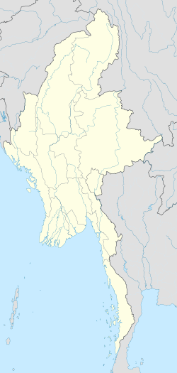
Mong Yawng
Appearance
Mong Yawng | |
|---|---|
 | |
| Coordinates: 21°11′0″N 100°22′0″E / 21.18333°N 100.36667°E | |
| Country | |
| Region | Shan State |
| District | Tachileik District |
| Township | Mong Yawng Township |
| Population | |
| • Ethnicities | Shan Wa Arkha |
| • Religions | Theravada Buddhism |
| Time zone | UTC+6.30 (MST) |
Mong Yawng (Burmese: မိုင်းယောင်းမြို့) is a town, located in eastern Shan State, Myanmar.
History
[edit]Mongyawng State (Möngyawng) was one of the Shan States. It was annexed by Kengtung State in 1815. Mong Yawng was the capital of the State.[1][2]
References
[edit]


