Cedar Grove Bridge
Appearance
Cedar Grove Bridge | |
 Cedar Grove Bridge, March 2015 | |
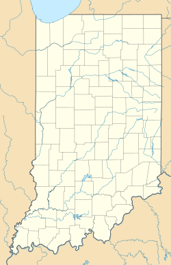
Location in Indiana | |
| Location | Old State Road 1 over the Whitewater River, Cedar Grove and Highland Township, Franklin County, Indiana |
|---|---|
| Coordinates | 39°21′12″N 84°56′35″W / 39.35333°N 84.94306°W |
| Area | less than one acre |
| Built | 1914 |
| Built by | Indiana Bridge Company |
| Architectural style | Camelback Pratt Through Truss |
| Demolished | 2016 |
| NRHP reference No. | 14000801[1] |
| Added to NRHP | September 30, 2014 |
Cedar Grove Bridge, also known as Indiana State Bridge #6625B, was a historic Camelback Pratt Through Truss bridge spanning the Whitewater River in Cedar Grove and Highland Township, Franklin County, Indiana. The bridge had two spans and was built in 1914. Each span of the bridge was 180 feet long, and the overall length of the bridge was 386 feet and had a roadway 18 feet wide.[2]: 5
The bridge carried State Route 1 over the river until 1999, when it was closed. It was listed on the National Register of Historic Places in 2014.[1] It was demolished on February 17, 2016. [3]
References
[edit]- ^ a b "National Register of Historic Places Listings". Weekly List of Actions Taken on Properties: 9/29/14 through 10/03/14. National Park Service. 2014-10-10.
- ^ "Indiana State Historic Architectural and Archaeological Research Database (SHAARD)" (Searchable database). Department of Natural Resources, Division of Historic Preservation and Archaeology. Retrieved 2015-11-01. Note: This includes John Warner (n.d.). "National Register of Historic Places Inventory Nomination Form: Cedar Grove Bridge" (PDF). Retrieved 2015-11-01., Accompanying photographs, sketch map, and quad map.
- ^ "WATCH: Historic Indiana bridge demolished". 17 February 2016.
Categories:
- Truss bridges in the United States
- Road bridges on the National Register of Historic Places in Indiana
- Bridges completed in 1914
- Transportation buildings and structures in Franklin County, Indiana
- National Register of Historic Places in Franklin County, Indiana
- Southern Indiana Registered Historic Place stubs


