Posey Island State Park
Appearance
| Posey Island State Park | |
|---|---|
 | |
| Location | San Juan County, Washington, United States |
| Coordinates | 48°37′06″N 123°10′04″W / 48.61833°N 123.16778°W[1] |
| Area | 1 acre (0.40 ha) |
| Elevation | 13 ft (4.0 m)[1] |
| Designation | Washington marine state park |
| Established | 1960 |
| Administrator | Washington State Parks and Recreation Commission |
| Website | Posey Island State Park |
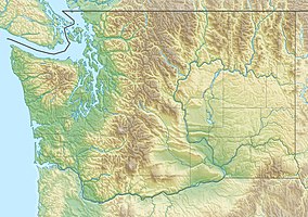
Posey Island State Park is a popular recreation area consisting of 1-acre (0.40 ha) Posey Island in San Juan County, Washington. The island is located .25 miles (0.40 km) north of Pearl Island, near Roche Harbor, San Juan Island. It has about 1,000 feet (300 m) of saltwater shoreline and is part of the Cascadia Marine Trail, with campsites restricted to visitors arriving in non-motorized watercraft. The island-park is managed by the Washington State Parks and Recreation Commission. It became a state park in 1960 under lease from the U.S. Bureau of Land Management.[2]
References
[edit]- ^ a b "Posey Island State Park". Geographic Names Information System. United States Geological Survey, United States Department of the Interior.
- ^ "Posey Island State Park". Washington State Parks and Recreation Commission. Retrieved March 2, 2016.
External links
[edit]Wikimedia Commons has media related to Posey Island State Park.
- Posey Island State Park Washington State Parks and Recreation Commission

