Puthalam
This article needs additional citations for verification. (August 2007) |
Puththalam, | |
|---|---|
Village | |
| Coordinates: 8°06′32″N 77°28′00″E / 8.10889°N 77.46667°E | |
| Country | |
| State | Tamil Nadu |
| District | Kanyakumari |
| Population (2011) | |
• Total | 13,073 |
| Languages | |
| • Official | Tamil |
| Time zone | UTC+5:30 (IST) |
| Vehicle registration | TN-74 |
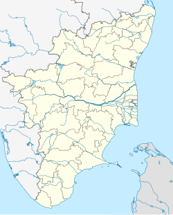
Puththalam is a Panchayat town in the Agastheeswaram taluk Kanniyakumari district in the Indian state of Tamil Nadu.
It lies between the Manakudy estuary and the Indian Ocean. The estuary is famous for its biodiversity and migrating birds. The wildlife department has recently introduced mangrove plantations.[citation needed] Puthalam is also known for its salt pans, which have existed since the British colonial rule.[citation needed] The recent tsunami has devastated the surrounding fishing villages. It has a 200-year-old Christian church constructed by Ringel Taube, a German missionary. There is also a 200-year-old higher secondary school, L.M.P.C. Higher Secondary School.[citation needed]
Demographics
[edit]As of the 2011 India census,[1] Puththalam has a population of 13,073. Puthalam has an average literacy rate of 83.7%, higher than the state literacy rate of 80.1% (male literacy is 86.1%, and female literacy is 81.5%). About 10% of the population is under the age of six.
References
[edit][1] 2011 Census
- ^ "Census of India 2001: Data from the 2001 Census, including cities, villages and towns (Provisional)". Census Commission of India. Archived from the original on 16 June 2004. Retrieved 1 November 2008.
