Ugly River
Appearance
| Ugly River | |
|---|---|
 Route of the Ugly River | |
| Location | |
| Country | New Zealand |
| Physical characteristics | |
| Source | Amohia Peak |
| • coordinates | 41°01′13″S 172°18′45″E / 41.0202°S 172.3126°E |
| Mouth | |
• location | Karamea River |
• coordinates | 41°11′44″S 172°19′22″E / 41.19561°S 172.32282°E |
| Length | 21 kilometres (13 mi) |
| Basin features | |
| Progression | Ugly River → Karamea River → Ōtūmahana Estuary → Karamea Bight → Tasman Sea |
| Tributaries | |
| • left | Domett Creek, McNabb Creek |
| • right | Harley Creek, Rubble Creek |
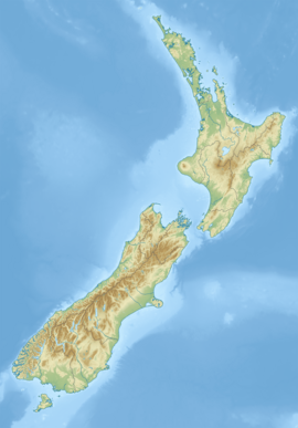
The Ugly River is a river of the West Coast Region of New Zealand's South Island. It flows south to reach the Karamea River 17 kilometres northeast of Karamea. The river's entire length is within Kahurangi National Park.
See also
[edit]References
[edit]"Place name detail: Ugly River". New Zealand Gazetteer. New Zealand Geographic Board. Retrieved 12 July 2009.

