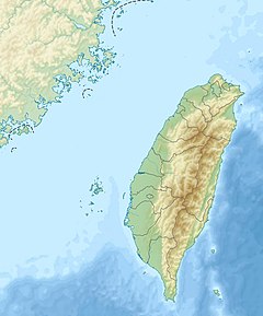
Wanli River
Appearance
| Wanli River | |
|---|---|
| Native name | 萬里溪 (Chinese) |
| Location | |
| Country | Taiwan |
| Physical characteristics | |
| Source | |
| • location | Central Mountain Range |
| Mouth | |
• location | Hualien River |
• coordinates | 23°43′30″N 121°29′20″E / 23.725°N 121.489°E |
| Length | 53.31 km (33.13 mi) |
| Basin size | 264.39 km2 (102.08 sq mi) |
| Discharge | |
| • maximum | 3,760 m3/s (133,000 cu ft/s) |
| Basin features | |
| River system | Hualien River basin |
The Wanli River (Chinese: 萬里溪; pinyin: Wànlǐ Xī) is a tributary of the Hualien River in Taiwan.[1][2] It flows through Hualien County for 53 km before joining the Hualien River in Fenglin, Hualien.[3]
See also
[edit]References
[edit]- ^ "GeoNames Search". Geographic Names Database. National Geospatial-Intelligence Agency, USA. Retrieved 6 May 2016.
- ^ 花蓮溪 [Hualien River] (in Chinese). Water Resources Agency, Ministry of Economic Affairs. Retrieved 6 May 2016.
- ^ "Hualien River basin". River System Introduction (in Chinese). The Ninth River Management Office, Water Resources Agency, Ministry of Economic Affairs. Retrieved 6 May 2016.
Wikimedia Commons has media related to Wanli River.
