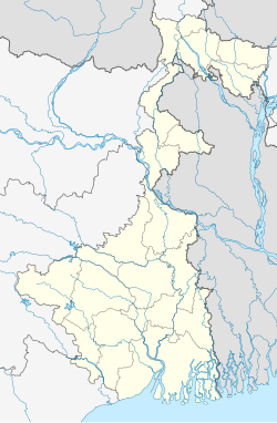
سیلیگوری
ظاهر
| Siliguri | |||||||
| Gateway Of North East India & Sila | |||||||
| — metropolitan city — | |||||||
 | |||||||
| مختصات | ۲۶°۴۳′شمالی ۸۸°۲۶′شرقی / ۲۶٫۷۱°شمالی ۸۸٫۴۳°شرقی | ||||||
| کشور | هند | ||||||
| ایالت | West Bengal | ||||||
| بخش | Darjeeling district | ||||||
| Mayor | Gangotri Dutta | ||||||
| Parliamentary constituency | Siliguri | ||||||
| Assembly constituency | Siliguri, Dabgram-Phulbari | ||||||
| جمعیت |
۱۸٬۰۹٬۷۰۹ (۲۰۱۲[بروزرسانی]) • ۱۷٬۰۱٬۴۸۹ | ||||||
| منطقه زمانی | آیاستی (یوتیسی ۵:۳۰+) | ||||||
| مساحت |
• ۱۲۲–۵۴۴ متر (۴۰۰–۱٬۷۸۵ فوت) | ||||||
|
کدها
| |||||||
Footnotes
| |||||||
| وبگاه | www.siligurismc.com | ||||||
شهر سیلیگوری (به انگلیسی: Shiliguri) با جمعیت ۵۶۷٫۸۰۴ نفر در ایالت بنگال غربی در کشور هند واقع شدهاست.

