Sreerampur Uttarpara
| Sreerampur Uttarpara শ্রীরামপুর উত্তরপাড়া |
|
|---|---|
| Community development block সমষ্টি উন্নয়ন ব্লক |
|
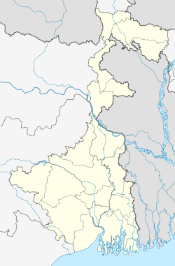
| Location in West Bengal, India | |
| Coordinates: Lua error in package.lua at line 80: module 'strict' not found. | |
| Country | |
| State | West Bengal |
| District | Hooghly |
| Area | |
| • Total | 44.80 km2 (17.30 sq mi) |
| Population (2001) | |
| • Total | 126,337 |
| • Density | 2,800/km2 (7,300/sq mi) |
| Languages | |
| • Official | Bengali, English |
| Time zone | IST (UTC+5:30) |
| Literacy | 68.09% |
| Lok Sabha constituency | Sreerampur |
| Vidhan Sabha constituency | Sreerampur, Uttarapara |
| Website | hooghly |
Sreerampur Uttarpara is a community development block that forms an administrative division in Srirampore subdivision of Hooghly district in the Indian state of West Bengal.
Geography
Nabagram, a constituent panchayat of Sreerampur-Uttarpara block, is located at Lua error in package.lua at line 80: module 'strict' not found..
Sreerampur Uttarpara CD Block has an area of 44.80 km2.[1]
Gram panchayats
Gram panchayats of Sreerampur-Uttarpara block/ panchayat samiti are: Kanaipur, Nabagram, Pearapur, Raghunathpur, Rajyadharpur and Rishra.[2]
Demographics
As per 2001 census, Sreerampur-Uttarpara block had a total population of 126,337, out of which 65,277 were males and 61,060 were females. Sreerampur-Uttarpara block registered a population growth of -3.26 per cent during the 1991-2001 decade. Decadal growth for Hooghly district was 15.72 per cent.[1] Decadal growth in West Bengal was 17.84 per cent.[3]
Literacy
As per the 2001 census, Sreerampur-Uttarpara block had a total literacy of 68.09 per cent. While male literacy was 83.84 per cent, female literacy was 69.91 per cent.[4]
