1.2k
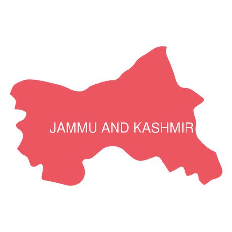
Jammu and kashmir map
Discover Pinterest’s best ideas and inspiration for Jammu and kashmir map. Get inspired and try out new things.
2k people searched this
·
Last updated 5d
122
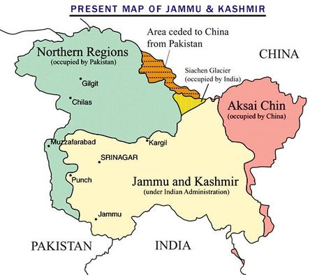
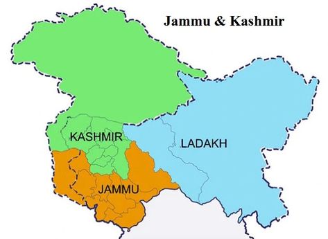
The State of Jammu and Kashmir as it was at its largest extent under the rule of the Dogras. This Map helps people understand the complicated Geography and Diversity of the erstwhile State of Jammu and Kashmir.
176
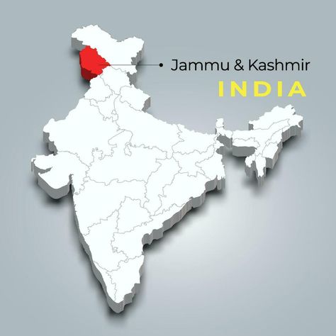
Jammu and Kashmir map location in Indian 3d isometric map. Jammu and Kashmir map vector illustration
Download the Jammu and Kashmir map location in Indian 3d isometric map. Jammu and Kashmir map vector illustration 36124847 royalty-free Vector from Vecteezy for your project and explore over a million other vectors, icons and clipart graphics!
14
Jammu and Kashmir has become an Union territory since 31 October 2019. So total area of the J&K as a UT has been reduced to just 42,241 km2.
3
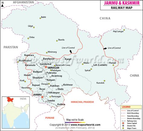
Jammu and Kashmir Railway Map shows the district's rail network of Jammu and Kashmir, significant stations, different railway zones, and trains connecting the main towns and cities across Jammu and Kashmir.
26
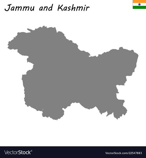
High Quality map of Jammu and Kashmir is a state of India. Download a free preview or high-quality Adobe Illustrator (ai), EPS, PDF, SVG vectors and high-res JPEG and PNG images.
22
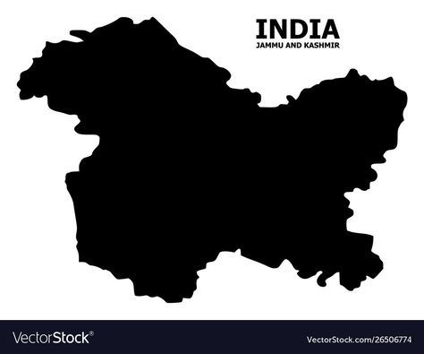
Vector Map of Jammu and Kashmir State with name. Map of Jammu and Kashmir State is isolated on a white background. Simple flat geographic map. Download a free preview or high-quality Adobe Illustrator (ai), EPS, PDF, SVG vectors and high-res JPEG and PNG images.
6
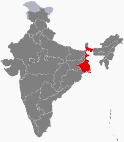
Wikipedia article about West Bengal
11
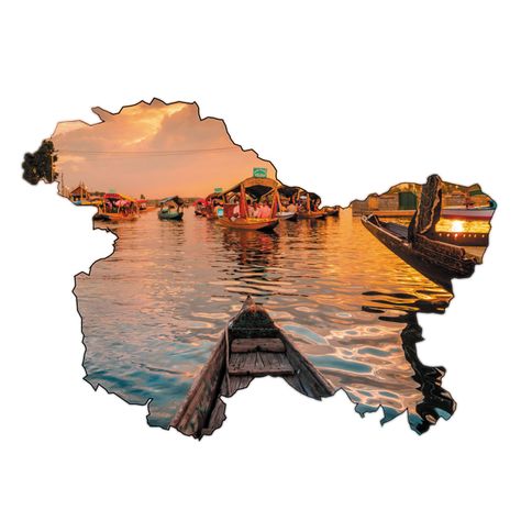
Jammu and kashmir state map PNG Image. Edit Online and Create T-Shirt & Merch Designs ready to sell. Download as Transparent SVG, Vector, PSD.
56
