Anton Island
Utsjånad
| Anton Island | |||
| øy | |||
| Land | |||
|---|---|---|---|
| Koordinatar | 66°2′S 134°28′E / 66.033°S 134.467°E | ||
| Lengd | 1 km | ||
| Administrert under | Antarktistraktaten | ||
 Anton Island 66°02′00″S 134°28′01″E / 66.0333°S 134.467°E | |||
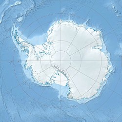
Anton Island er ei låg, isdekt øy som ligg 5 nautiske mil nord-nordaust for Lewis Island, like utanfor austsida av innløpet til Davis Bay. Ho vart oppdaga i 1956 frå MV «Kista Dan» av Australian National Antarctic Research Expedition leia av Phillip Law som gjekk i land på øya den 18. januar 1960, og vart namngjeven av Australian Antarctic Names and Medals Committee etter Anton Moyell, førstestyrmann på MV «Magga Dan» i 1960.[1][2]
Sjå òg
[endre | endre wikiteksten]Kjelder
[endre | endre wikiteksten]- ↑ «Anton Island». Geographic Names Information System. United States Geological Survey, United States Department of the Interior. Henta 7. november 2012.
- ↑ Australian Antarktis Data Centre
![]() Denne artikkelen inneheld stoff som er offentleg eige frå United States Geological Survey-artikkelen «Anton Island» (innhald frå Geographic Names Information System).
Denne artikkelen inneheld stoff som er offentleg eige frå United States Geological Survey-artikkelen «Anton Island» (innhald frå Geographic Names Information System).
