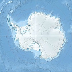
Nicholson Island
Utsjånad
| Nicholson Island | |||
| øy | |||
| Land | |||
|---|---|---|---|
| Del av | Bailey Rocks | ||
| Koordinatar | 66°17′S 110°32′E / 66.283°S 110.533°E | ||
| Administrert under | Antarktistraktaten | ||
 Nicholson Island 66°17′00″S 110°31′59″E / 66.2833°S 110.533°E | |||
Nicholson Island er den vestlegaste av Bailey Rocks, som ligg 200 nordaust for Budnick Hill i Newcomb Bay i Windmill Islands. Ho vart først kartlagd frå flyfoto teken av U.S. Navy Operasjon Highjump, 1946-47. Ho vart namngjeven av Australian Antarctic Names and Medals Committee (ANCA) etter R.T. Nicholson, snikkar under bygginga av den nærliggande Casey Station i 1966.
Sjå òg
[endre | endre wikiteksten]![]() Denne artikkelen inneheld stoff som er offentleg eige frå United States Geological Survey-artikkelen «Nicholson Island» (innhald frå Geographic Names Information System).
Denne artikkelen inneheld stoff som er offentleg eige frå United States Geological Survey-artikkelen «Nicholson Island» (innhald frå Geographic Names Information System).
