Enerhodar
Appearance
Enerhodar
Енергодар Энергодар | |
|---|---|
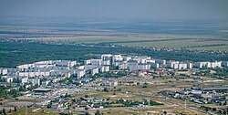
 Enerhodar viewed from a thermal power plant chimney | |
|
| |
| Motto(s): | |
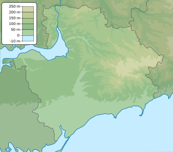
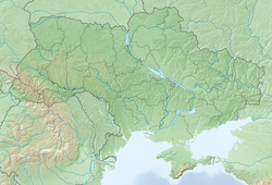
| Coordinates: 47°29′56″N 34°39′21″E / 47.49889°N 34.65583°E | |
| Country | |
| Oblast | |
| Raion | |
| City status | 1985 |
| Area | |
| • Total | 63.5 km2 (24.5 sq mi) |
| Elevation | 29 m (95 ft) |
| Population (2022) | |
| • Total | 52,237 |
| • Density | 858/km2 (2,220/sq mi) |
| Climate | Dfa |
| Website | www |
 | |
Enerhodar (/ɛnərˈhoʊdɑːr/; Ukrainian: Енергода́р, romanized: Enerhodár, pronounced [enerɦoˈdɑr], lit. 'energy's gift'; Russian: Энергодар, romanized: Energodar) is a city and municipality in the north-western part of Zaporizhzhia Oblast in Ukraine. The city was captured by the Russian Armed Forces during the battle of Enerhodar and is currently under their control.[1] Its population is about 52,887 as of 2021.
Enerhodar was founded on June 12, 1970, to build and maintain the Zaporizhzhia thermal power station. During the 1980s, Europe's biggest nuclear power plant, the Zaporizhzhia Nuclear Power Plant, was built there. Many people work at these two power stations.
References
[change | change source]Wikimedia Commons has media related to Enerhodar.
- ↑ "Ukraine after 11th night of war: Mayor killed, towns taken, Moscow promises civilian corridors to Russia". Baltic News Network - News from Latvia, Lithuania, Estonia. 2022-03-07. Retrieved 2022-05-08.
Other websites
[change | change source]


