Kirchheim unter Teck
Appearance
Kirchheim unter Teck | |
|---|---|
 | |
| Coordinates: 48°38′54″N 9°27′4″E / 48.64833°N 9.45111°E | |
| Country | Germany |
| State | Baden-Württemberg |
| Admin. region | Stuttgart |
| District | Esslingen |
| Subdivisions | 5 |
| Government | |
| • Mayor | Pascal Bader |
| Area | |
| • Total | 40.47 km2 (15.63 sq mi) |
| Elevation | 311 m (1,020 ft) |
| Population (2022-12-31)[1] | |
| • Total | 41,907 |
| • Density | 1,000/km2 (2,700/sq mi) |
| Time zone | UTC+01:00 (CET) |
| • Summer (DST) | UTC+02:00 (CEST) |
| Postal codes | 73219–73230 |
| Dialling codes | 07021 |
| Vehicle registration | ES |
| Website | www |
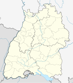
Kirchheim unter Teck (Alemannic German: Kircha) is a town in southern Baden-Württemberg in Germany. It has 40,000 people. It is named after the mountain Teck. It isn't far away from Stuttgart. It is in a mountain group named Schwäbische Alb.
References
[change | change source]- ↑ "Bevölkerung nach Nationalität und Geschlecht am 31. Dezember 2022" [Population by nationality and sex as of December 31, 2022] (CSV) (in German). Statistisches Landesamt Baden-Württemberg. June 2023.


