Trans, Switzerland
Appearance
Trans | |
|---|---|
| Coordinates: 46°45′N 9°27′E / 46.750°N 9.450°E | |
| Country | Switzerland |
| Canton | Graubünden |
| District | Hinterrhein |
| Government | |
| • Mayor | Ursina Tester |
| Area | |
| • Total | 747 km2 (288 sq mi) |
| Elevation | 1,473 m (4,833 ft) |
| Population (December 2007) | |
| • Total | 56 |
| • Density | 0.075/km2 (0.19/sq mi) |
| Time zone | UTC+01:00 (Central European Time) |
| • Summer (DST) | UTC+02:00 (Central European Summer Time) |
| Postal code(s) | 7417 |
| SFOS number | 3641 |
| Surrounded by | Almens, Churwalden, Paspels, Scheid, Tumegl/Tomils |
| Website | www SFSO statistics |
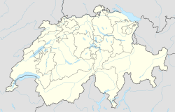
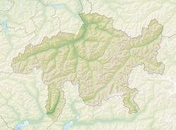
Trans is a village in the municipality of Tomils of the district Hinterrhein in the canton of Graubünden in Switzerland. In 2009 Trans joined Feldis/Veulden, Scheid and Tumegl/Tomils to become the municipality of Tomils.

Other websites
[change | change source]![]() Media related to Trans, Switzerland at Wikimedia Commons
Media related to Trans, Switzerland at Wikimedia Commons
- Official Website (in German)
- Trans in German, French and Italian in the online Historical Dictionary of Switzerland.


