Belen
Utseende
Belen eller Belén kan syfta på följande:
Geografi
[redigera | redigera wikitext]Argentina
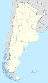
[redigera | redigera wikitext]Belén i Argentina.
- Belén de Escobar, kommunhuvudort, Buenos Aires, 34°20′57″S 58°47′35″V / 34.34905°S 58.79308°V
Colombia
[redigera | redigera wikitext]Belén i Colombia.
- Belén de Umbría (ort), Risaralda, 5°12′03″N 75°52′07″V / 5.20087°N 75.86865°V
- Belén de los Andaquíes (ort i Colombia), Caquetá, 1°25′06″N 75°52′39″V / 1.41828°N 75.87753°V
- Belén kommun, Boyacá, 5°58′35″N 72°55′29″V / 5.97631°N 72.92481°V
- Belén kommun, Nariño, 1°35′41″N 77°03′15″V / 1.59477°N 77.05408°V
Costa Rica
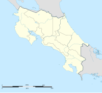
[redigera | redigera wikitext]Belen i Costa Rica.
Honduras
[redigera | redigera wikitext]Belen i Honduras.
- Belén Gualcho (ort), Departamento de Ocotepeque, 14°29′00″N 88°48′00″V / 14.48333°N 88.8°V
- Belén kommun, Honduras, Departamento de Lempira, 14°30′N 88°30′V / 14.5°N 88.5°V
Mexiko
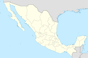
[redigera | redigera wikitext]Belen i Mexiko.
- Belén, Tabasco, ort, Macuspana, 17°47′20″N 92°36′47″V / 17.78891°N 92.61294°V
- Belén, Guanajuato, ort, Apaseo el Alto, 20°22′03″N 100°31′22″V / 20.3675°N 100.52278°V
- Belén, Veracruz, ort, Álamo Temapache, 20°55′25″N 97°33′29″V / 20.92361°N 97.55806°V
- Belén, Chilón, ort, 17°02′56″N 92°11′26″V / 17.04889°N 92.19056°V
- Belén, Guerrero, ort,Atlixtac, 17°19′16″N 98°57′08″V / 17.32118°N 98.95232°V
- Belén, Acala, ort, 16°33′40″N 92°47′19″V / 16.56111°N 92.78861°V
- Belén, Motozintla, ort, 15°13′07″N 92°13′58″V / 15.21861°N 92.23278°V
- Belén, Villaflores, ort, 16°23′05″N 93°32′22″V / 16.38472°N 93.53944°V
Nicaragua
[redigera | redigera wikitext]Belen i Nicaragua.
| Det här är en förgreningssida, som består av en lista på olika betydelser hos artikelnamnet. Om du kom hit via en wikilänk i en annan artikel, gå gärna tillbaka dit och korrigera länken så att den pekar direkt på den sida som länken avser. |


