Montgomery, Michigan
Utseende
| Montgomery | |
| village | |
| Land | |
|---|---|
| Delstat | Michigan |
| County | Hillsdale County |
| Höjdläge | 320 m ö.h. |
| Koordinater | 41°46′38″N 84°48′15″V / 41.77722°N 84.80417°V |
| Yta | 2,6 km² (2020) |
| - land | 2,6 km² |
| - vatten | 0,0 km² |
| Folkmängd | 322 (2020) |
| Befolkningstäthet | 124 invånare/km² |
| Tidszon | EST (UTC-5) |
| - sommartid | EDT (UTC-4) |
| Riktnummer | 517 |
| FIPS | 2655220 |
| Geonames | 5002387 |
|
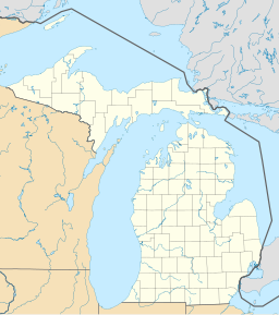
Montgomerys läge i Michigan.
| |
|
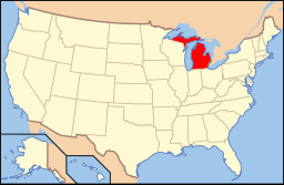
Michigans läge i USA.
| |
Montgomery är ett municipalsamhälle (village) i Hillsdale County i Michigan i USA.[1] Vid 2020 års folkräkning hade Montgomery 322 invånare.[2]
Källor
[redigera | redigera wikitext]- ^ ”Montgomery, MI Map & Directions” (på engelska). Map Quest. https://www.mapquest.com/us/michigan/montgomery-mi-282036331. Läst 8 maj 2024.
- ^ ”The ZIP Code, Map and Demographics of Montgomery, MI” (på engelska). ZIP-Codes. https://www.zip-codes.com/city/mi-montgomery.asp. Läst 8 maj 2024.


