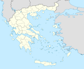
Potamia, Agia
From Infogalactic: the planetary knowledge core
| Potamia Ποταμιά |
|
|---|---|
| Coordinates: Lua error in package.lua at line 80: module 'strict' not found. | |
| Country | Greece |
| Administrative region | Thessaly |
| Regional unit | Larissa |
| Municipality | Agia |
| Municipal unit | Agia |
| Highest elevation | 180 m (590 ft) |
| Lowest elevation | 145 m (476 ft) |
| Community | |
| • Population | 262 |
| • Area (km2) | 4.698 |
| Time zone | EET (UTC+2) |
| • Summer (DST) | EEST (UTC+3) |
| Postal code | 400 03 |
| Area code(s) | +30-2494-xxx-xxx |
| Vehicle registration | PIx-xxxx |
Potamia (Greek: Ποταμιά, Greek pronunciation: [potam'ɲia]) is a village and a community of the Agia municipality.[2] Before the 2011 local government reform it was a part of the municipality of Agia.[2][3] The 2011 census recorded 262 inhabitants in the village.[1] The community of Potamia covers an area of 4.698 km2.[3]
Contents
Geography
The village is located 6 km southeast of Agia, at the northern slopes of Mavrovouni Mountain.
Population
According to the 2011 census, the population of the settlement of Potamia was 262 people, a decrease of almost 12% compared with the population of the previous census of 2001.[1][4]
|
